Black Bay Peninsula facts for kids
Quick facts for kids Black Bay Peninsula |
|
|---|---|
| Location | Thunder Bay, Unorganized, Ontario |
| Coordinates | 48°38′08″N 88°16′44″W / 48.63556°N 88.27889°W |
| Length | 55 km (34 mi) |
| Width | 25 km (16 mi) |
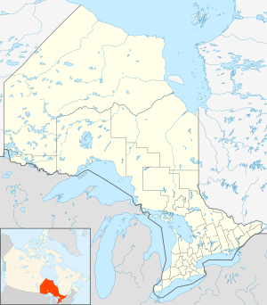
Black Bay Peninsula is a volcanic peninsula in Unorganized Thunder Bay District in Northwestern Ontario, Canada, located on the North Shore of Lake Superior. It separates Black Bay and Nipigon Bay and consists of over 300 flood basalt lava flows. Porphyry Island, an island entirely encompassed within Porphyry Island Provincial Park, lies off the tip of the peninsula. A 49-square-kilometre (19 sq mi) portion of the peninsula has been set aside as the Black Bay Peninsula Enhanced Management Area.

All content from Kiddle encyclopedia articles (including the article images and facts) can be freely used under Attribution-ShareAlike license, unless stated otherwise. Cite this article:
Black Bay Peninsula Facts for Kids. Kiddle Encyclopedia.

