Belmont Heights, Tampa facts for kids
Quick facts for kids
Belmont Heights
|
|
|---|---|
| Country | United States |
| State | Florida |
| County | Hillsborough |
| City | Tampa |
| Time zone | UTC-5 (Eastern (EST)) |
| • Summer (DST) | UTC-4 (EDT) |
| Area code(s) | 813 |
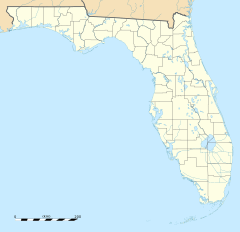
Belmont Heights is a neighborhood within the district of East Tampa, which represents District 5 of the Tampa City Council. Demographically, The neighborhood did not report separately.
Geography
Belmont Heights is located at latitude 27.992 north and longitude -82.425. The elevation is 52 feet above sea level. Its boundaries are roughly Southeast Seminole Heights(15th Street) to the west, Live Oaks Square (Hillsborough Avenue) to the north, Jackson Heights (30th Street) to the east, and V.M. Ybor and College Hill (21st Avenue)to the south.

All content from Kiddle encyclopedia articles (including the article images and facts) can be freely used under Attribution-ShareAlike license, unless stated otherwise. Cite this article:
Belmont Heights, Tampa Facts for Kids. Kiddle Encyclopedia.

