Arlington, Colorado facts for kids
Quick facts for kids
Arlington, Colorado
|
|
|---|---|

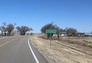
Entering from the west (2024)
|
|
| Country | |
| State | |
| County | Kiowa County |
| Established | 1887 |
| Elevation | 4,222 ft (1,287 m) |
| Time zone | UTC-7 (MST) |
| • Summer (DST) | UTC-6 (MDT) |
| ZIP Code |
81021
|
| Area code(s) | 719 |
| Highways | |
| GNIS feature ID | 0204825 |
Arlington is an unincorporated community in Kiowa County, Colorado, United States. The community's ZIP Code is 81021.
History
The town of Arlington was established by the Missouri Pacific Railroad in 1887. The Arlington Post Office operated from August 16, 1887 to October 15, 2011.
Arlington Auxiliary Army Airfield
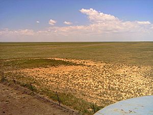
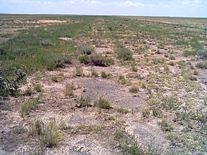
Three miles east of town is the site of the former Arlingtion Auxiliary Army Air Field #4, one of many former Colorado World War II Army Airfields. The triangular shape of the runways is not only visible from the air, but also visible from the county road. The E/W runway still has large sections of asphalt and the vegetation has noticeable changes along the runway.
Geography
Arlington is located at 38°20′08″N 103°20′33″W / 38.33556°N 103.34250°W (38.335597,-103.342552).

All content from Kiddle encyclopedia articles (including the article images and facts) can be freely used under Attribution-ShareAlike license, unless stated otherwise. Cite this article:
Arlington, Colorado Facts for Kids. Kiddle Encyclopedia.


