Albatross Bay facts for kids
Quick facts for kids Albatross Bay |
|
|---|---|

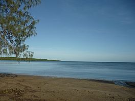
Looking from Mission River out to Albatross Bay, 2020
|
|
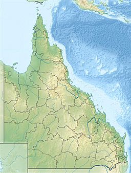
| Location | Queensland |
| Group | Gulf of Carpentaria |
| Coordinates | 12°42′56″S 141°39′48″E / 12.7156°S 141.6633°E |
| Type | bay |
| Settlements | Weipa, Mission River |
Albatross Bay is a bay on the eastern shores of the Gulf of Carpentaria, Queensland, Australia.
Geography
The bay is offshore from the localities of Mission River (in both Shire of Cook and Aboriginal Shire of Napranum), a number of localities in Weipa Town (Rocky Point, Trunding, Nanum, Evans Landing) and Aurukun (in the Shire of Aurukun).
Three rivers flow into the bay:
- Mission River (12°35′12″S 141°57′48″E / 12.5867°S 141.9633°E)
- Embley River (12°39′50″S 141°49′30″E / 12.6639°S 141.8250°E)
- Hey River (12°44′12″S 141°53′58″E / 12.7367°S 141.8994°E)
History
The bay was named after the Queensland Government's steamer Albatross. The name was chosen either by its master Captain Kerr or by John Douglas when he was the Government Resident at Thursday Island.

All content from Kiddle encyclopedia articles (including the article images and facts) can be freely used under Attribution-ShareAlike license, unless stated otherwise. Cite this article:
Albatross Bay Facts for Kids. Kiddle Encyclopedia.

