Aille River (County Mayo) facts for kids
Quick facts for kids Aille River |
|
|---|---|
| Native name | Abhainn na hAille |
| Physical characteristics | |
| Main source | Glenmask, Partry Mountains, County Mayo |
| River mouth | Galway Bay via Lough Mask, Lough Corrib and River Corrib 53°46′36″N 9°22′22″W / 53.776657°N 9.372744°W |
| Length | 29.8 kilometres (18.5 mi) |
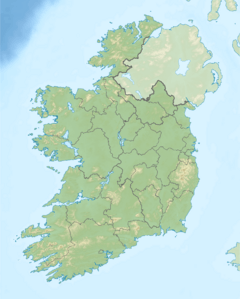
The Aille River (Irish: Abhainn na hAille) is a river in County Mayo, Ireland, flowing from the Partry Mountains to Lough Mask, and flows underground for part of its course.
Course
The Aille River rises in the Partry Mountains 16 km (10 mi) south of Westport, drains the northwest part of the Partry range and sinks underground at the Aille Caves. It continues as a subterranean river for 4 km (2.5 mi), resurging at Pollatoomary. It flows south to Cloon Lough, which feeds into Lough Mask.

All content from Kiddle encyclopedia articles (including the article images and facts) can be freely used under Attribution-ShareAlike license, unless stated otherwise. Cite this article:
Aille River (County Mayo) Facts for Kids. Kiddle Encyclopedia.

