Achiguate River facts for kids
Quick facts for kids Achiguate River |
|
|---|---|
|
Location of mouth
|
|
| Country | Guatemala |
| Physical characteristics | |
| Main source | Guatemala (Sacatepéquez, Escuintla) 1,710 m (5,610 ft) 14°26′57″N 90°51′05″W / 14.449060°N 90.851355°W |
| River mouth | Pacific Ocean 0 m (0 ft) 13°54′55″N 90°54′29″W / 13.915364°N 90.908003°W |
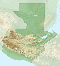
The Río Achiguate (Spanish pronunciation: [atʃiˈɣwate ]) is a river in the south of Guatemala. Its sources are located in the Sierra Madre range, on the southern slopes of the Volcán de Fuego in the departments of Sacatepéquez and Escuintla. The river flows southwards through the coastal lowlands of Escuintla to the Pacific Ocean.
The Achiquate river's proximity to the active Fuego volcano increases the risks of inundations and mudflows.
See also
 In Spanish: Río Achiguate para niños

All content from Kiddle encyclopedia articles (including the article images and facts) can be freely used under Attribution-ShareAlike license, unless stated otherwise. Cite this article:
Achiguate River Facts for Kids. Kiddle Encyclopedia.

